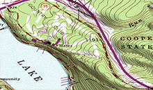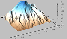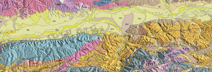
This review describes how geographical information systems (GIS) can be used in all areas of the mining industry from mine and ore body exploration, to development and production, to closure and reclamation. GIS gives mining companies the tools they need to operate mines responsibly and at optimum efficiency. GIS can be used by mining companies to target mineral exploration, evaluate mining conditions, model mine construction, and display data such as geochemical or hydrological. GIS can also be employed in applying for mining permits, assessing environmental impact, and designing closure and reclamation plans.
GIS IN MINING
With the advent of Geographical Information System (GIS), many mining activities (from exploration to stop development, and production to mine rehabilitation) evolved from pure luck to science. Gone were the days when operations would rely on linen and paper maps and old surveys and drawings and superimposing transparencies to create layers and composite images. GIS replaced old map-analysis processes, traditional drawing tools, and drafting and database technologies.
Level 2: Essential Workflows Course:
Course Description
The course comprises 35 hours of class for those who have past GIS skills with knowledge of GIS concepts and limited GIS software experience.
Outcome:
By the end of this course participants will be able to do the following:
- Gather, analyze, and integrate spatial data and determine how best the informations can be displayed using GIS
- Compile geographic data from a variety of sources including censuses, field observation, satellite imagery, aerial photographs, and existing maps.
- Understand what is really meant by topology, and why is it important in the maintenance of a geographic database in ArcGIS.
- Conversion between data types and data formats.
- Create maps (especially geological maps), using different GIS software.
- Doing many analysis functions according to spatial informations.
- Using 3D analyst.
Contact us for complete course outline.